

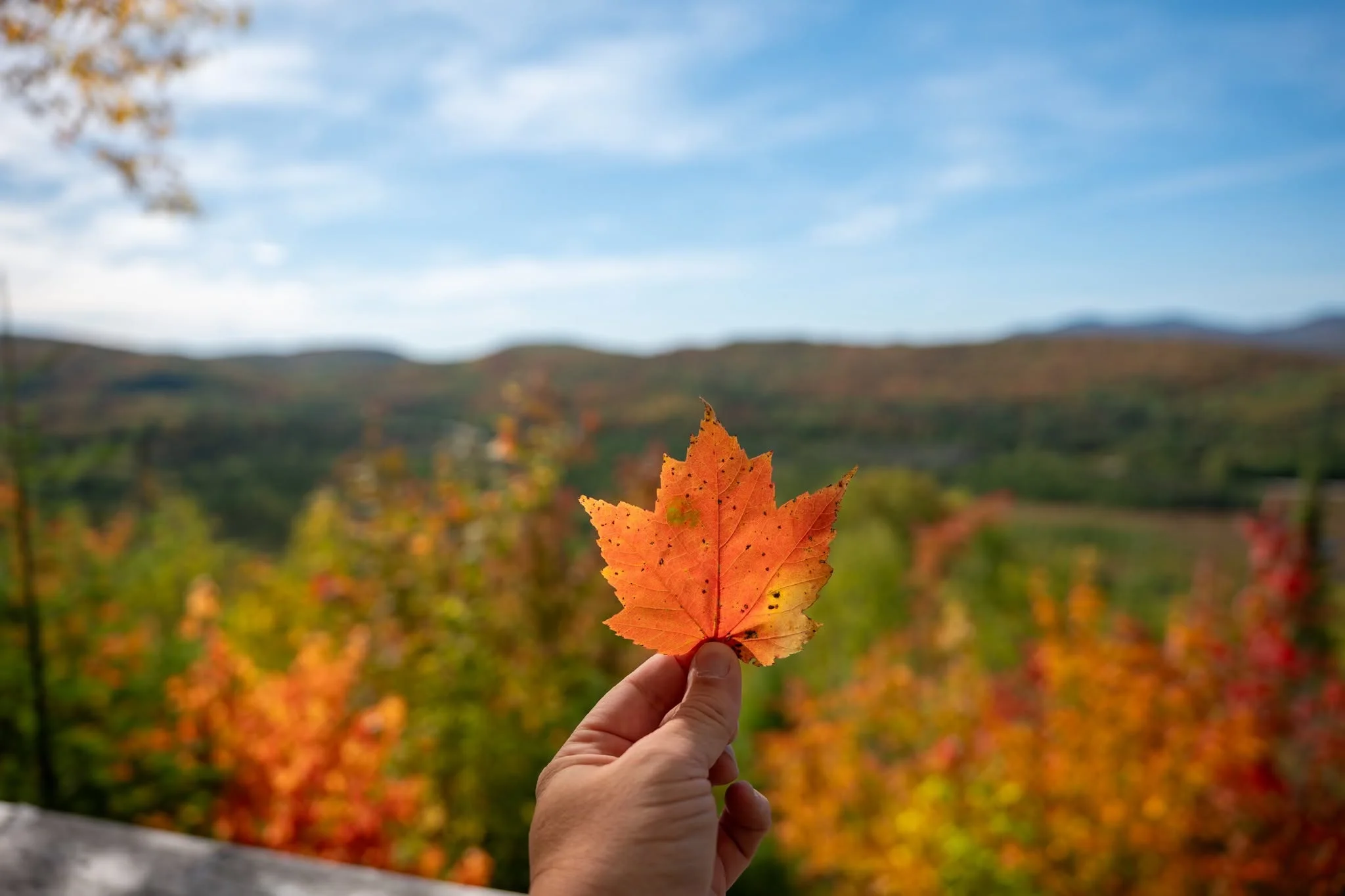
Four hikes for seeing Quebec's fall colours without driving more than two hours from Montreal, from an easy riverside walk to mountain lookouts.
Four fall hikes for four different kinds of day out
If you live in or are visiting Montreal, finding fall colour is not difficult. The city has parks everywhere, and Mont-Royal is practically on our doorstep. So why drive one or two hours just to look at colourful leaves?
Because the experience changes completely once you leave the island. The open views over mountains, lakes and valleys are grander, and the drive becomes part of the outing. As Montreal disappears behind you, the roads pass small villages, forests and mountains that deliver a good share of the show before the hike even starts.
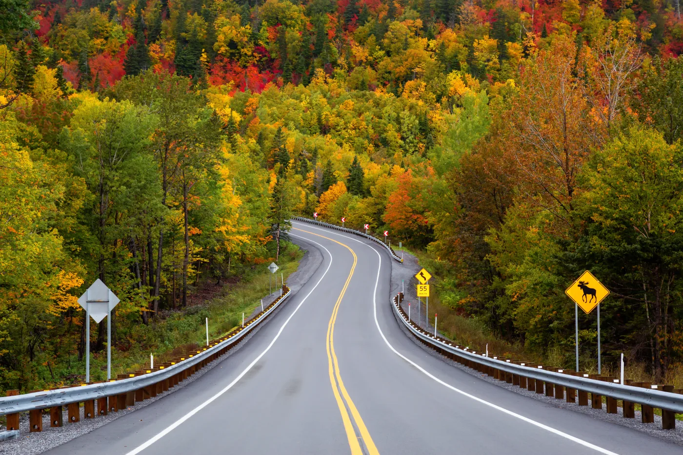
On some Quebec routes, the view through the window is already worth the drive.
The catch is that fall in Quebec is short, and everyone wants to travel on the same weekend. Once the leaves reach the red, orange and gold seen in photos, parking lots fill, traffic grows and a peaceful trail can turn into a small procession.
These four choices are within roughly two hours of Montreal and suit different plans: an easy riverside walk, a moderate national-park route, a more rugged hike and a short lookout with one of the loveliest combinations of lakes and fall colour we have seen. I also added Mont-Royal as a bonus for anyone who cannot or does not want to drive.
Read next: “Montreal’s 6 best parks: an honest local cycling guide”
Quick comparison
| Trail | Drive from Montreal | Main route | Difficulty | Access fee |
|---|---|---|---|---|
| Parc régional de la Rivière-du-Nord | about 1 hour | flexible | easy | CAD 11.50 per non-resident adult |
| Le Pékan, Mont-Orford | about 1.5 hours | 9.4 km return | intermediate | CAD 10.30 per adult |
| Boucle du Mont Prud’homme | about 1.5 hours | 8 km | intermediate | CAD 8.70 per visitor |
| Mont Sourire | 1 hr 45 min to 2 hours | 2 km return to the lookout | easy | free |
Driving times are estimates from central Montreal and can change significantly with traffic, roadwork and busy fall weekends. Prices were checked in September 2026 and may change.
1. Parc régional de la Rivière-du-Nord: the easiest walk on this list
If you want fall colour without turning the day into an endurance test, I would start at Parc régional de la Rivière-du-Nord in Saint-Jérôme. You can walk at an easy pace beside the Rivière du Nord, stop for a picnic and return to Montreal without feeling as though you spent all day in the car.
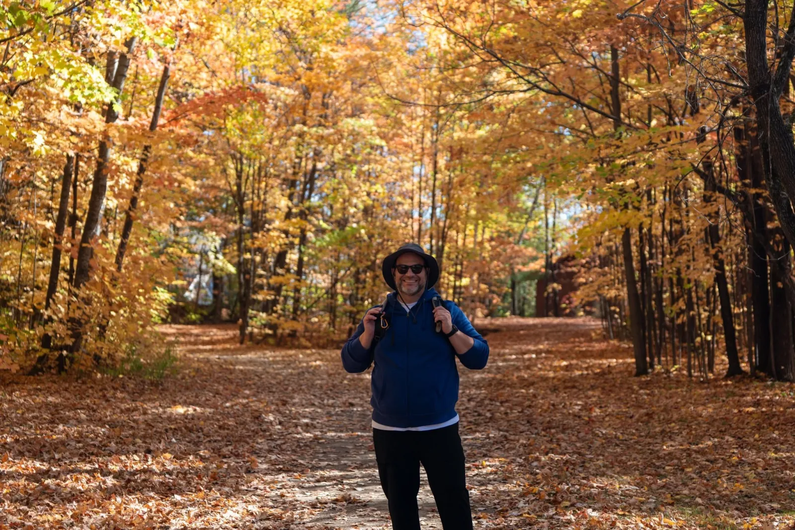
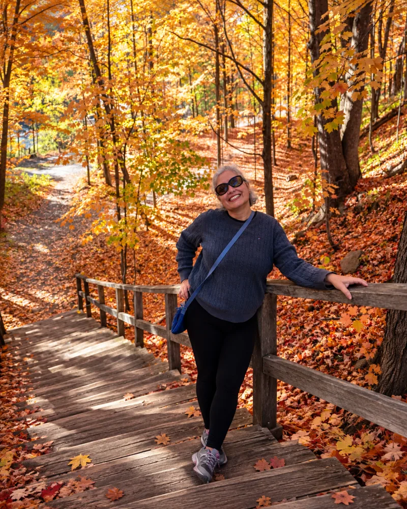
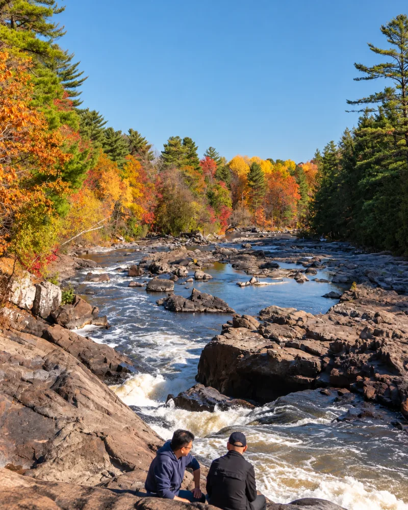
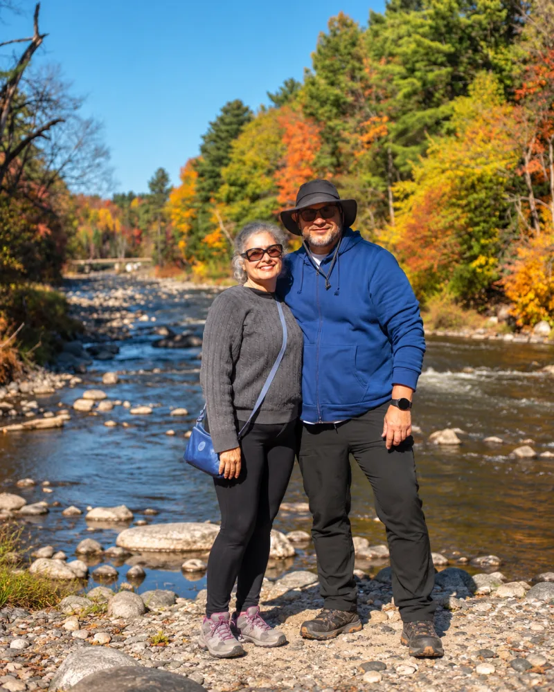
An easy walk through the fall colours at Parc régional de la Rivière-du-Nord.
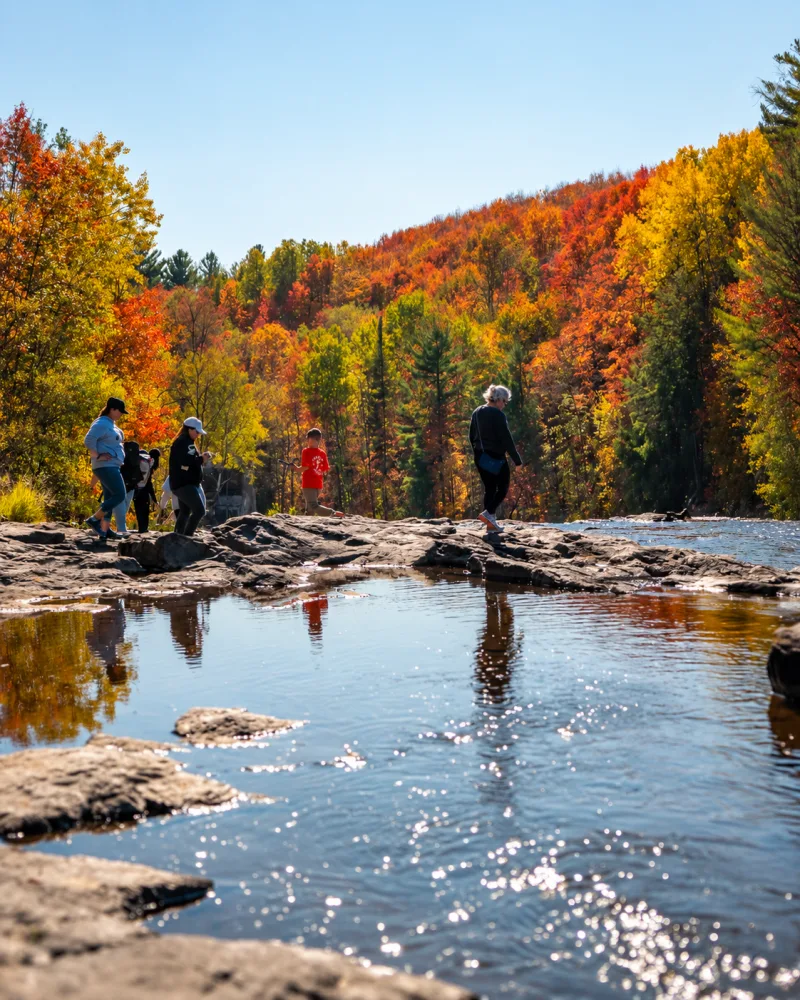
The ground is friendlier than on the mountain trails below. That is precisely what we enjoyed: you can appreciate the scenery without tackling one climb after another over roots and rocks. The river frames the yellow, orange and red leaves and changes the view throughout the walk. It works well for children, occasional walkers or anyone who simply wants to slow down.
Our visit was during the unusually warm fall of 2025. The foliage was still more yellow than the intense red everyone searches for, a useful reminder that leaf season is never an exact science.
Practical information
📍 Location: Saint-Jérôme, Quebec
🚗 Distance: about 1 hour from Montreal
🥾 Difficulty: easy, with a flexible route
👥 Best for: families, beginners, picnics and half-day outings
💰 2026 admission: CAD 11.50 for non-residents aged 13 and over; CAD 7 for ages 6 to 12; free up to age 5. Residents of the MRC de La Rivière-du-Nord enter free with proof. Taxes included.
🅿️ Main entrance and parking: 750 chemin de la Rivière-du-Nord, Saint-Jérôme
🐕 Note: pets are not allowed.
Open the entrance in Google Maps | Check hours and conditions | See current prices
Our honest opinion
This is the easiest and most versatile choice on the list. It is not where you go to reach a summit exhausted. It is where you enjoy fall without pressure, walk beside the river and still have energy left for the rest of the day.
2. Le Pékan at Parc national du Mont-Orford: the most complete experience
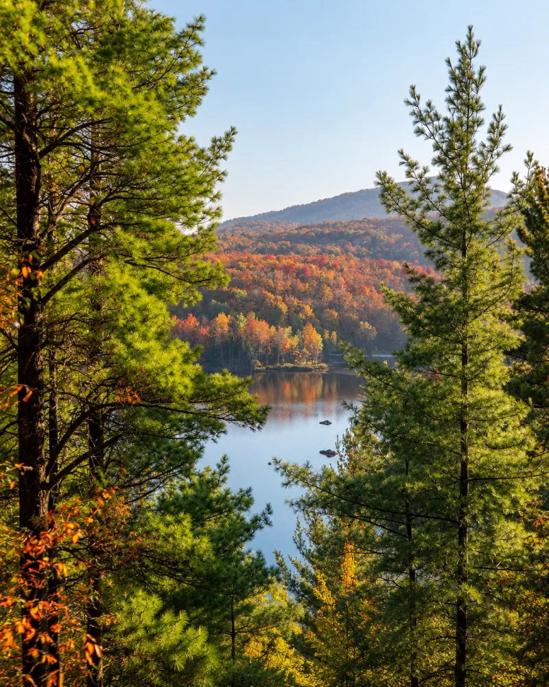
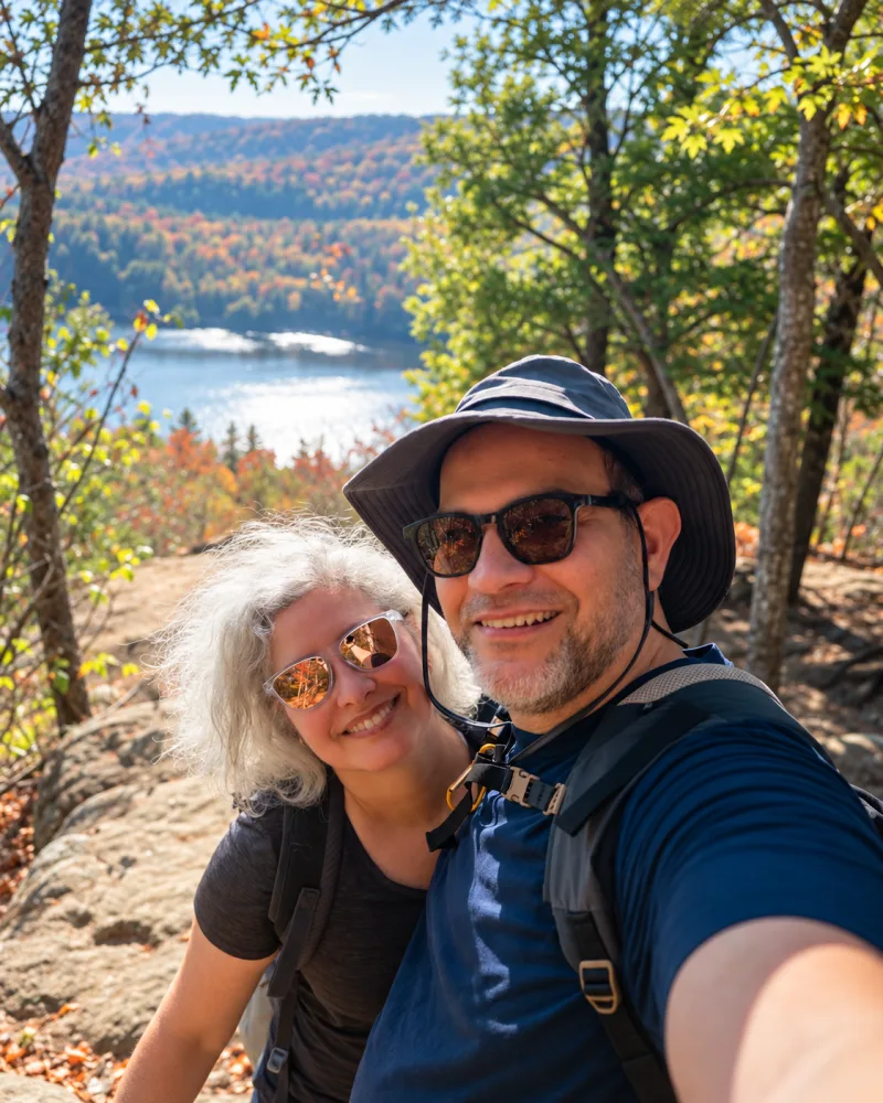
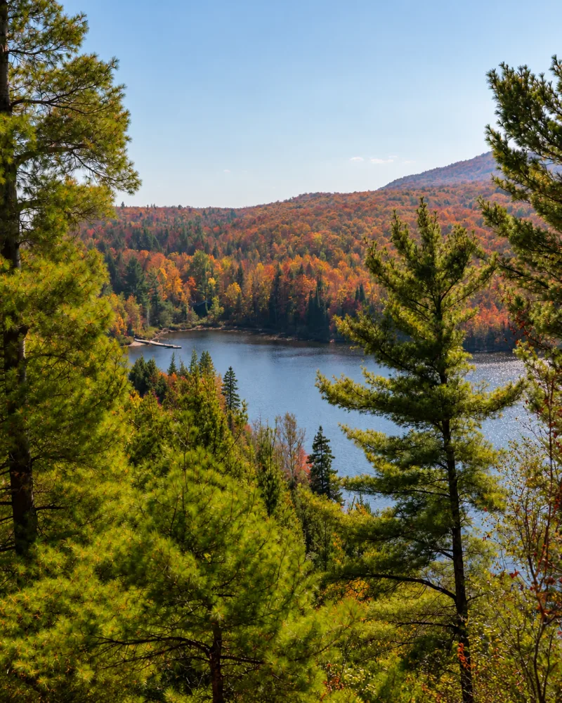
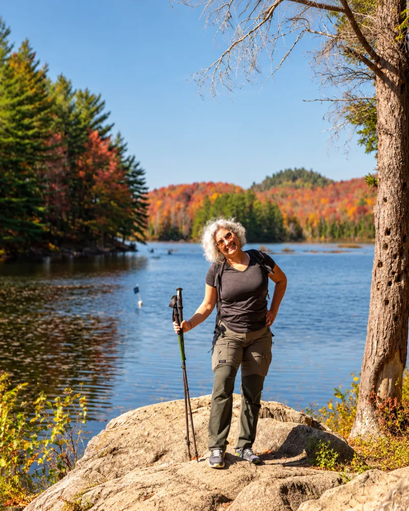
We hiked Parc national du Mont-Orford amid the explosion of red, orange and gold that makes a Quebec fall look over-edited. The route crosses dense forest, climbs a series of small rises and feels more complete than a simple walk to a viewpoint.
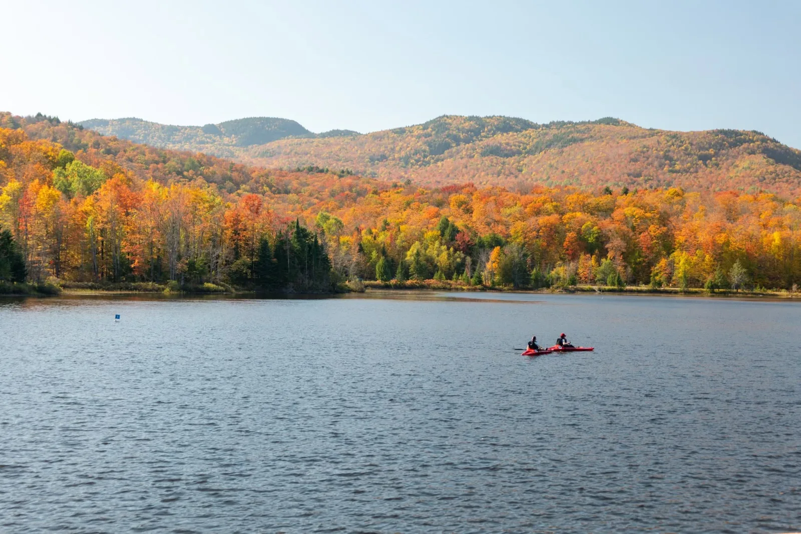
The lake and colourful mountains show why Mont-Orford offers the most varied scenery on this list.
The outing starts before the park entrance. The road to Mont-Orford was one of the most beautiful fall drives we have taken in Quebec. On some stretches, mountains covered in colour rise on both sides of the road. Driving becomes part of the experience.
Our activity tracker recorded 8.4 km and 228 metres of accumulated elevation gain. Sépaq currently lists Le Pékan as a 9.4 km return hike taking about 3 hours 15 minutes, with 95 metres of elevation gain and an intermediate rating, starting at Le Cerisier Discovery and Visitors Centre. Route, GPS and elevation calculations often differ, so I would use the official figures and allow extra time.
Practical information
📍 Location: Parc national du Mont-Orford, Le Cerisier sector
🚗 Distance: about 1.5 hours from Montreal
🥾 Official route: 9.4 km return, about 3 hr 15 min
📈 Difficulty: intermediate
💰 2026 admission: CAD 10.30 per adult; free for visitors under 18, who still need an access authorization. Taxes included.
🅿️ Parking: Le Cerisier Discovery and Visitors Centre
🎟️ Reservation: buy park access online in advance on peak weekends.
Open Le Cerisier in Google Maps | Visit the Mont-Orford page | See official Sépaq fees
Our honest opinion
This is the option that best combines facilities, varied scenery and the feeling of doing a real hike. It is moderate, but not an urban stroll. Bring water, food, shoes with good grip and layers.
Read next: “Le P’tit Train du Nord: the best bike trail we rode one hour from Montreal”
3. Mont Prud’homme: beautiful, rugged and more tiring than it looks
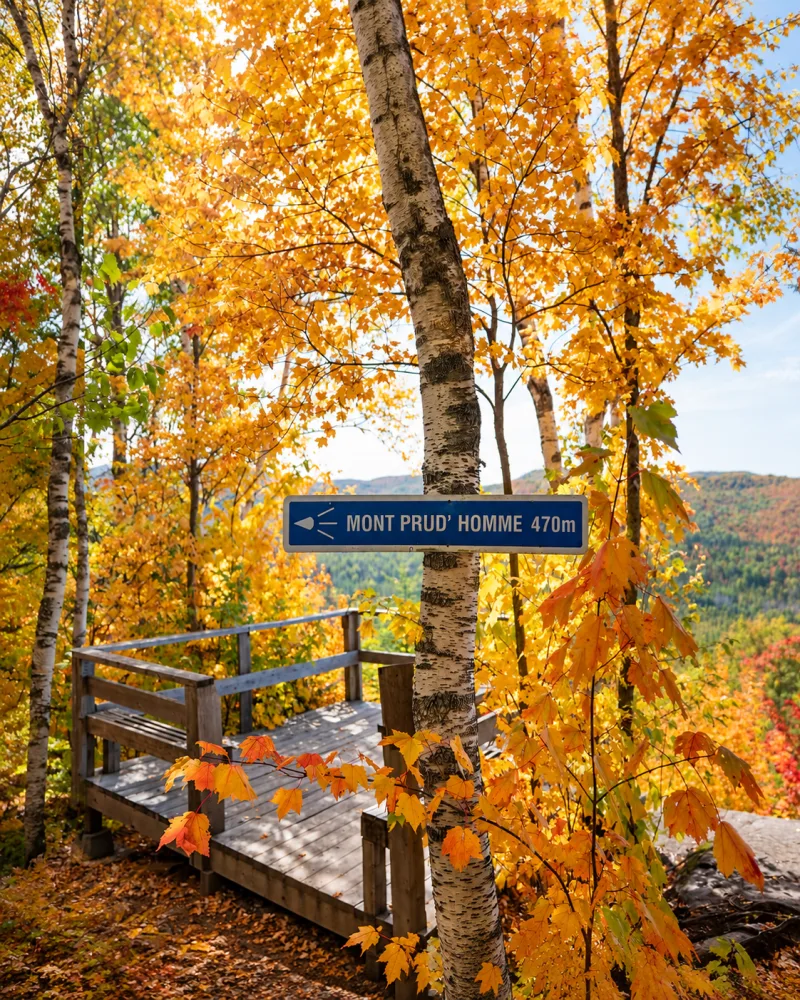
Mont Prud’homme is in the Massif sector of Parc régional de la Forêt Ouareau in Notre-Dame-de-la-Merci. The official Boucle du Mont Prud’homme is currently 8 km long, with 150 metres of elevation gain and an intermediate rating.
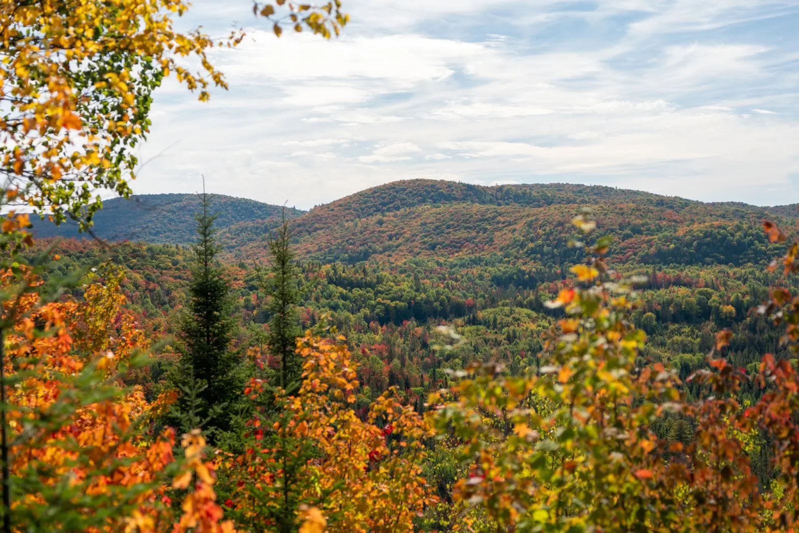
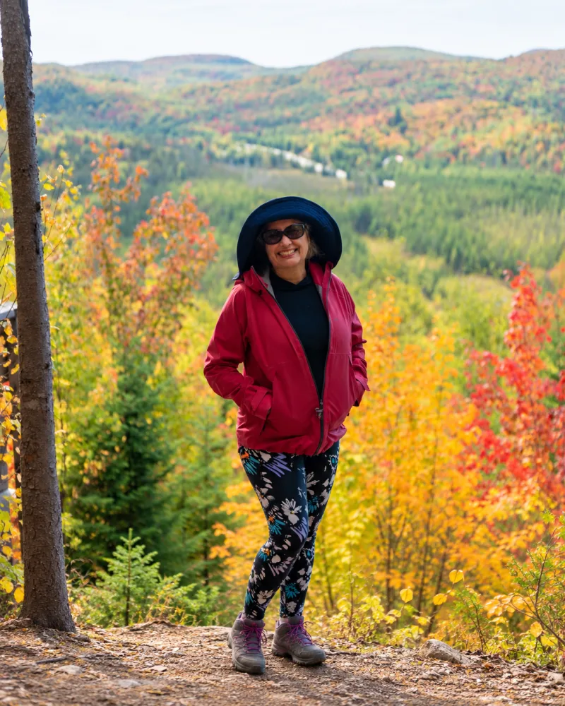
Layers of mountains and colourful forest along the Mont Prud’homme trail.
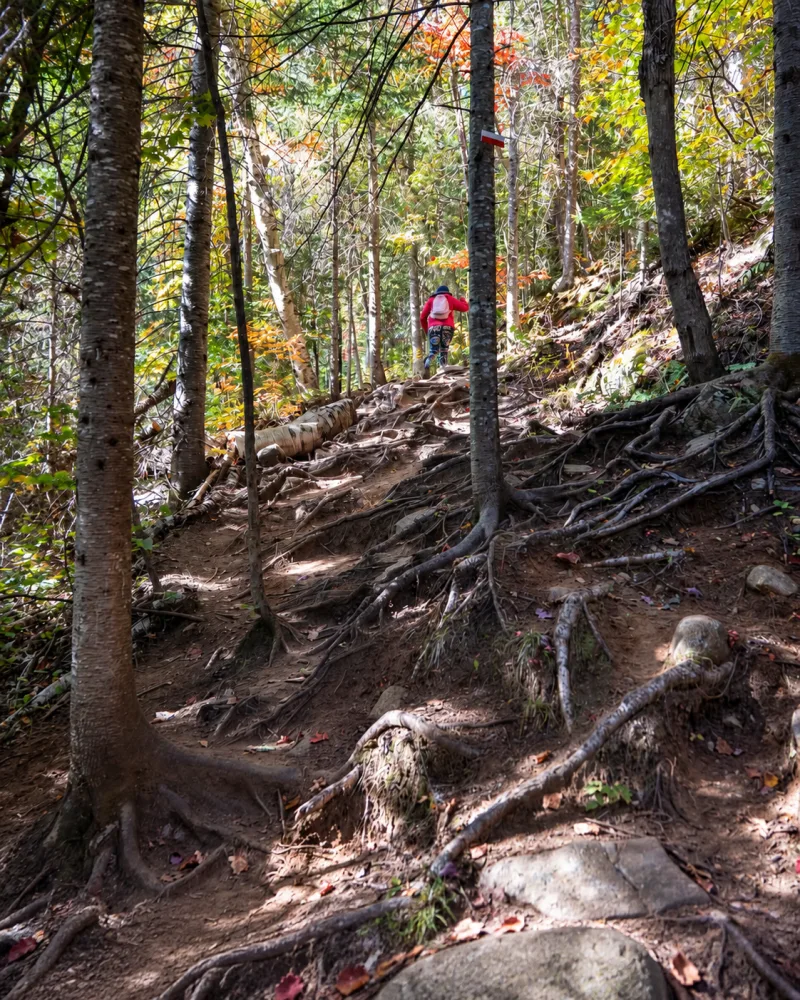
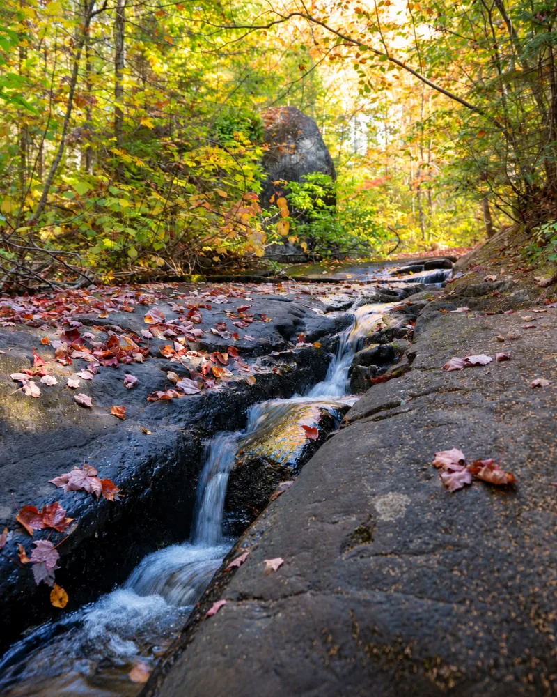
The route crosses forest filled with roots, rocks and uneven ground. Several trails connect in this sector, so download the map before setting out and follow the signs throughout the hike.
Practical information
📍 Location: Parc régional de la Forêt Ouareau, Massif sector, Notre-Dame-de-la-Merci
🚗 Distance: about 1.5 hours from Montreal
🥾 Official route: 8 km loop
📈 Difficulty: intermediate, on uneven terrain
💰 2026 admission: CAD 8.70 per day visitor, plus taxes
🅿️ Parking: Massif sector; pay the access fee on site or online
⚠️ Note: confirm the sector’s status before leaving. Events and weather can temporarily close access.
Open the Massif sector in Google Maps | Check trails, conditions and fees
4. Mont Sourire: a short lookout to complete the list
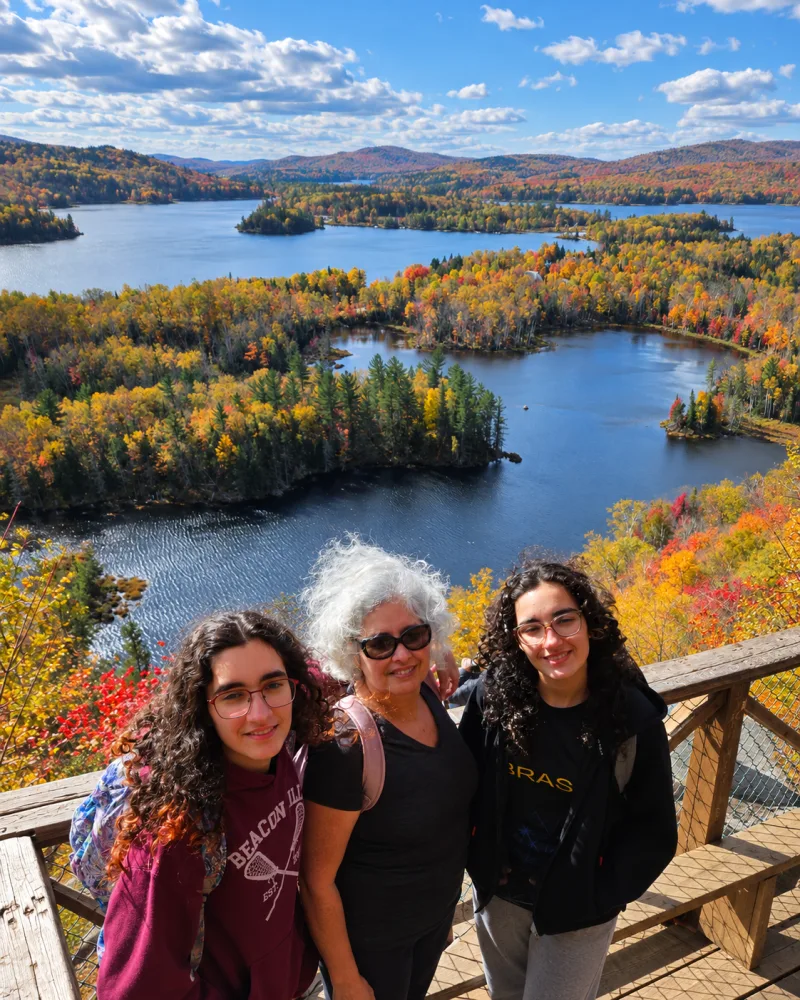
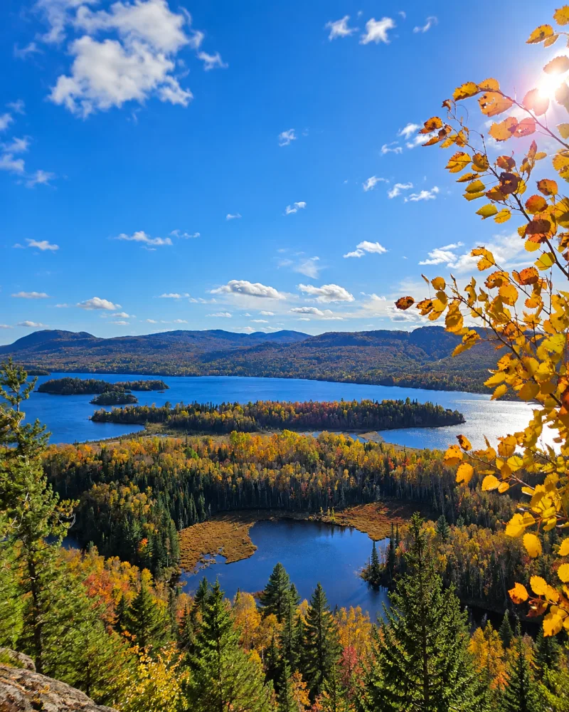
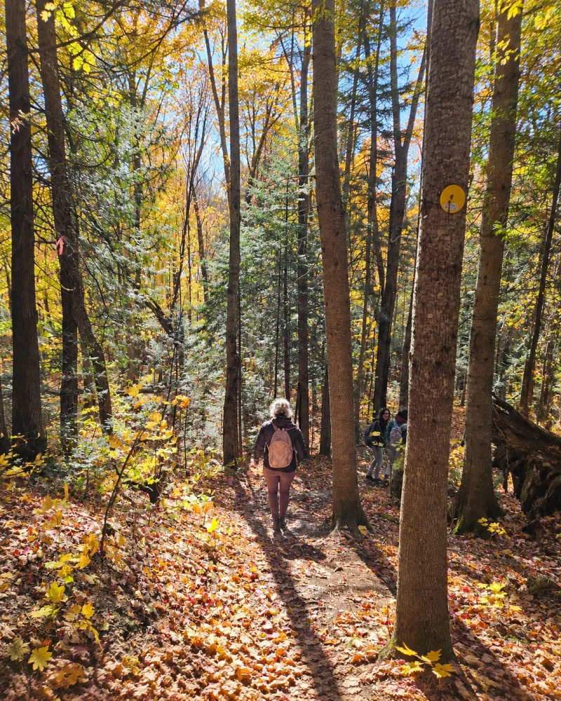
Mont Sourire in Saint-Donat is the most direct option for gaining height without devoting half a day to a long hike. The route to the lookout is a 2 km return walk, rated easy, and reaches roughly 490 metres above sea level with views over Lac Ouareau and the surrounding mountains.
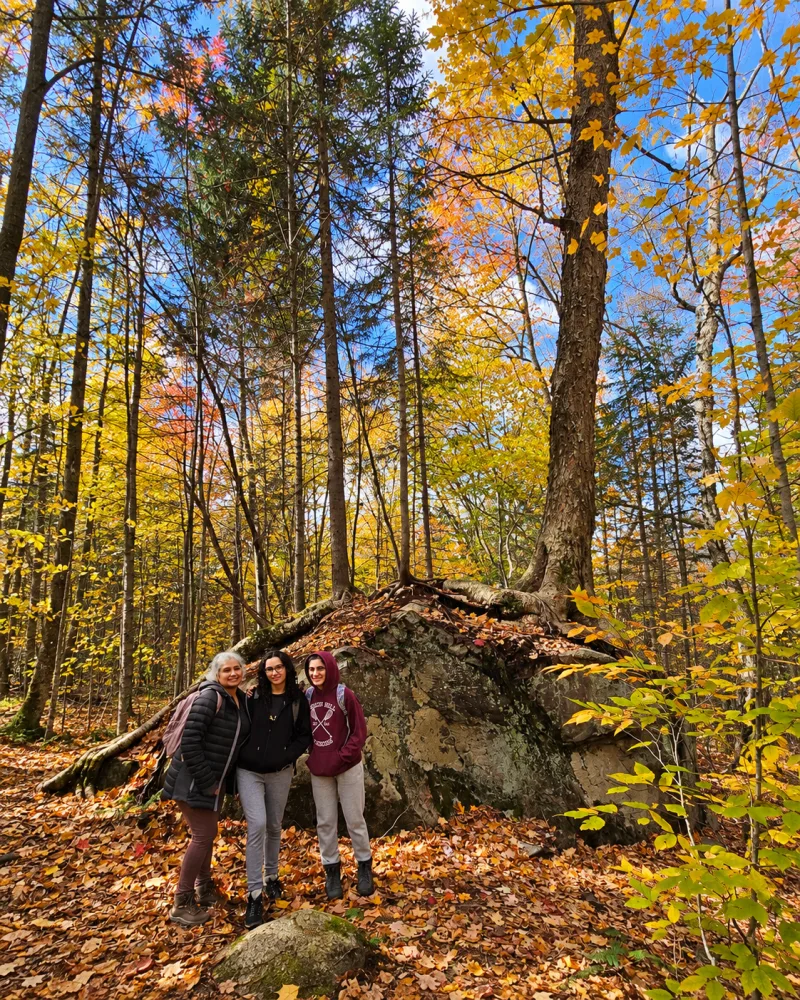
This was one of our most beautiful views combining lakes and fall colour. Easy does not mean flat: it is still a mountain walk, with a climb and ground that changes after rain. Families used to walking and first-time hikers in Quebec may find it a good introduction. You can continue to La Chouette shelter for a 4.4 km return trip. Dogs are allowed under local rules.
Practical information
📍 Location: Saint-Donat, access via chemin de la Cascade
🚗 Distance: 1 hr 45 min to 2 hours from Montreal, depending on traffic
🥾 Route: 2 km return to the lookout; 4.4 km return to the shelter
📈 Difficulty: easy, but with a mountain climb
💰 Admission: free
🅿️ Parking: free, at the end of chemin de la Cascade near 767 chemin Ouareau Nord
🐕 Dogs: allowed.
Open the parking area in Google Maps | See Mont Sourire on Tourisme Lanaudière | Open the network map on Balise Québec
Our honest opinion
If you want a broad view without a long hike, Mont Sourire makes a great deal of sense. The contrast between the lakes and colourful mountains produced one of our favourite images from that fall.
Read next: “Parc des Chutes de Sainte-Ursule: waterfalls and river swimming near Montreal”
Bonus: hike Mont-Royal without leaving Montreal
You do not always need to drive for a good fall day. Parc du Mont-Royal is the most practical option if you have no car or only a short window of sunshine.
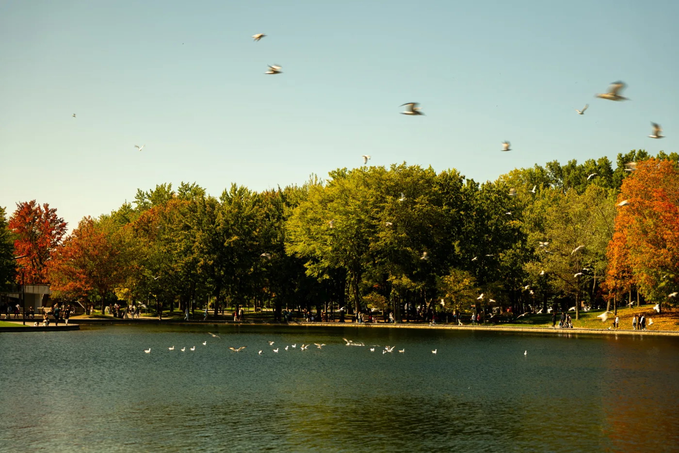
Beaver Lake is a lovely stop for combining a walk and fall colour without leaving Montreal.
The Olmsted Path offers a walk of up to 8.3 km and connects forest, Beaver Lake, Smith House, the cross and Kondiaronk Lookout. The summit loop links the cross to the classic view over downtown. Outside Montreal, lakes and mountains take centre stage; here, foliage frames the skyline and the St. Lawrence River.
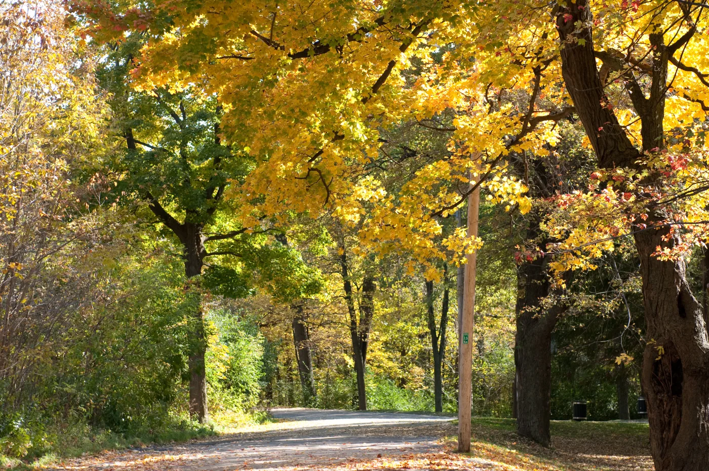
Even on the most accessible paths, walking under the colourful canopy transforms the outing.
📍 Location: central Montreal
🚇 Getting there: Mont-Royal métro and bus 11, or walk up from Peel Street
🥾 Route: flexible, with short options and the Olmsted Path up to 8.3 km
💰 Admission: free
🅿️ Parking: paid in official park areas.
Open Parc du Mont-Royal in Google Maps | Check trails and conditions
Which of these four trails should you choose?
- For a walk without suffering: Parc régional de la Rivière-du-Nord.
- For the most complete experience: Le Pékan at Mont-Orford.
- For rugged terrain: Mont Prud’homme.
- For a quick route to a good view: Mont Sourire.
Rivière-du-Nord is safest for small children, less experienced walkers or a late-afternoon picnic. Mont-Orford is better if the outing is your main activity of the day. Mont Prud’homme requires more energy and comfort on uneven ground. Mont Sourire suits anyone who wants a lookout without walking 8 or 10 kilometres.
When to see fall colours in Quebec
As a rule, the farther north you go, the earlier the colours arrive. Laurentides, Lanaudière, Outaouais and Mauricie may become vivid from late September into early October. Montreal and places farther south often peak a little later. Check the official Bonjour Québec fall-colour map and the park’s trail conditions before leaving.
💡 A local tip: leave early at peak season. Arriving before 9 a.m. often matters more than choosing a lesser-known trail. You avoid some traffic, find parking more easily and get better light for photos.
Check rain, wind and sunset before leaving
Look beyond the day’s maximum temperature. Check rain during the previous 24 to 48 hours, the wind forecast and sunset time. Wet roots, rocks and leaves become slippery; strong gusts can bring down branches; and daylight shortens quickly. Plan to finish at least one hour before sunset and do not rely only on a phone flashlight. Check Environment Canada’s official forecast for Montreal and the town nearest your trail.
What to take on a fall hike near Montreal
- footwear with good grip, especially for Mont Prud’homme;
- water and food, even on short routes;
- a light jacket and layers;
- a compact rain shell;
- an offline trail map;
- a power bank and headlamp;
- a bag for all your rubbish;
- spare socks, because wet fall trails are common.
Quebec fall is beautiful precisely because it is brief. Do not wait for a perfect trail. Choose the route that matches your pace, leave early and enjoy the colour while it is still on the trees.
Read next: “Getting around Montreal: a public transportation guide for visitors”
Was this post useful?
Rate your reading experience.